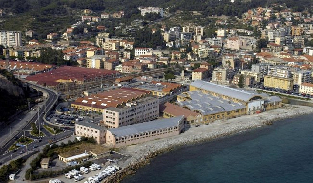
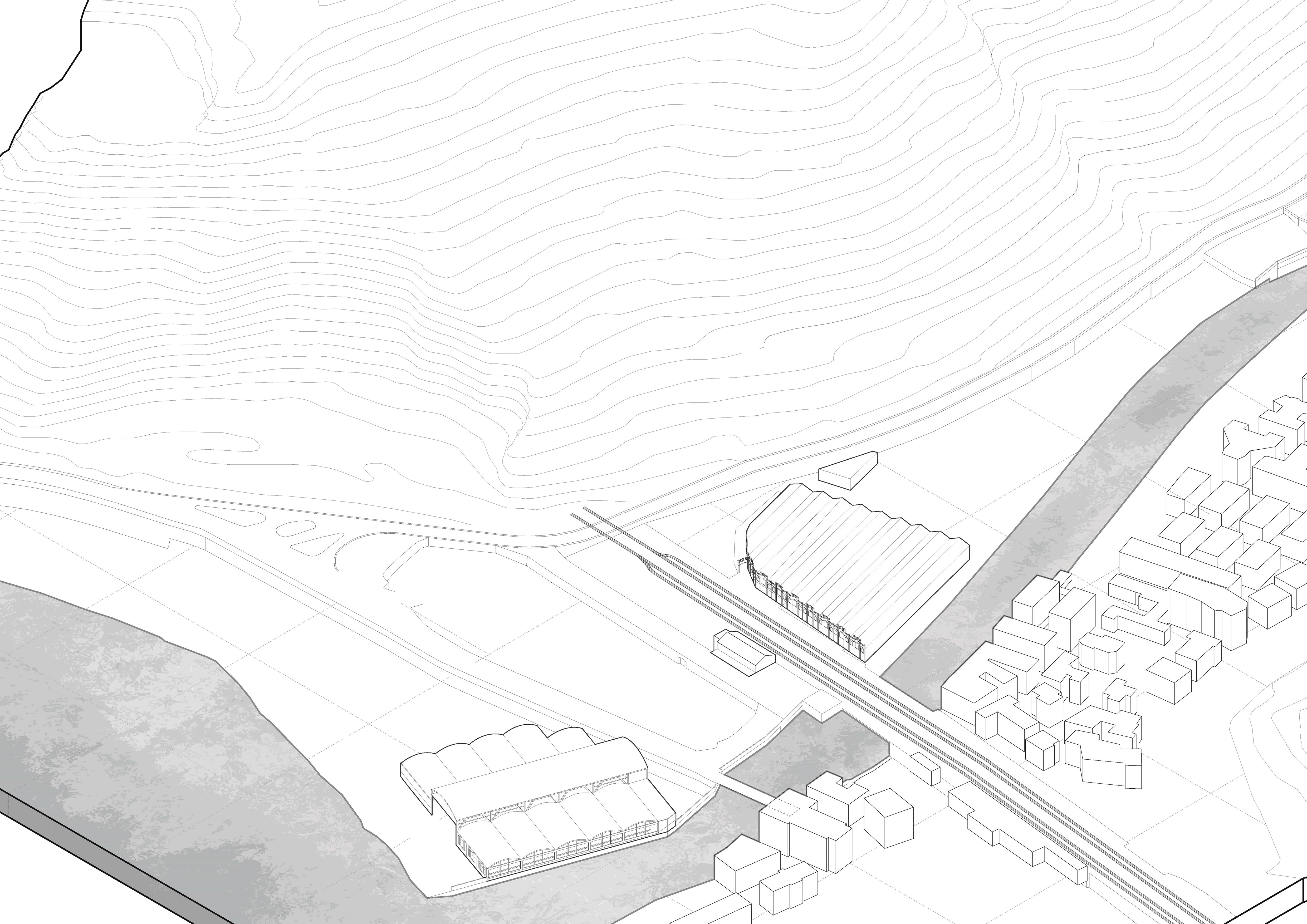
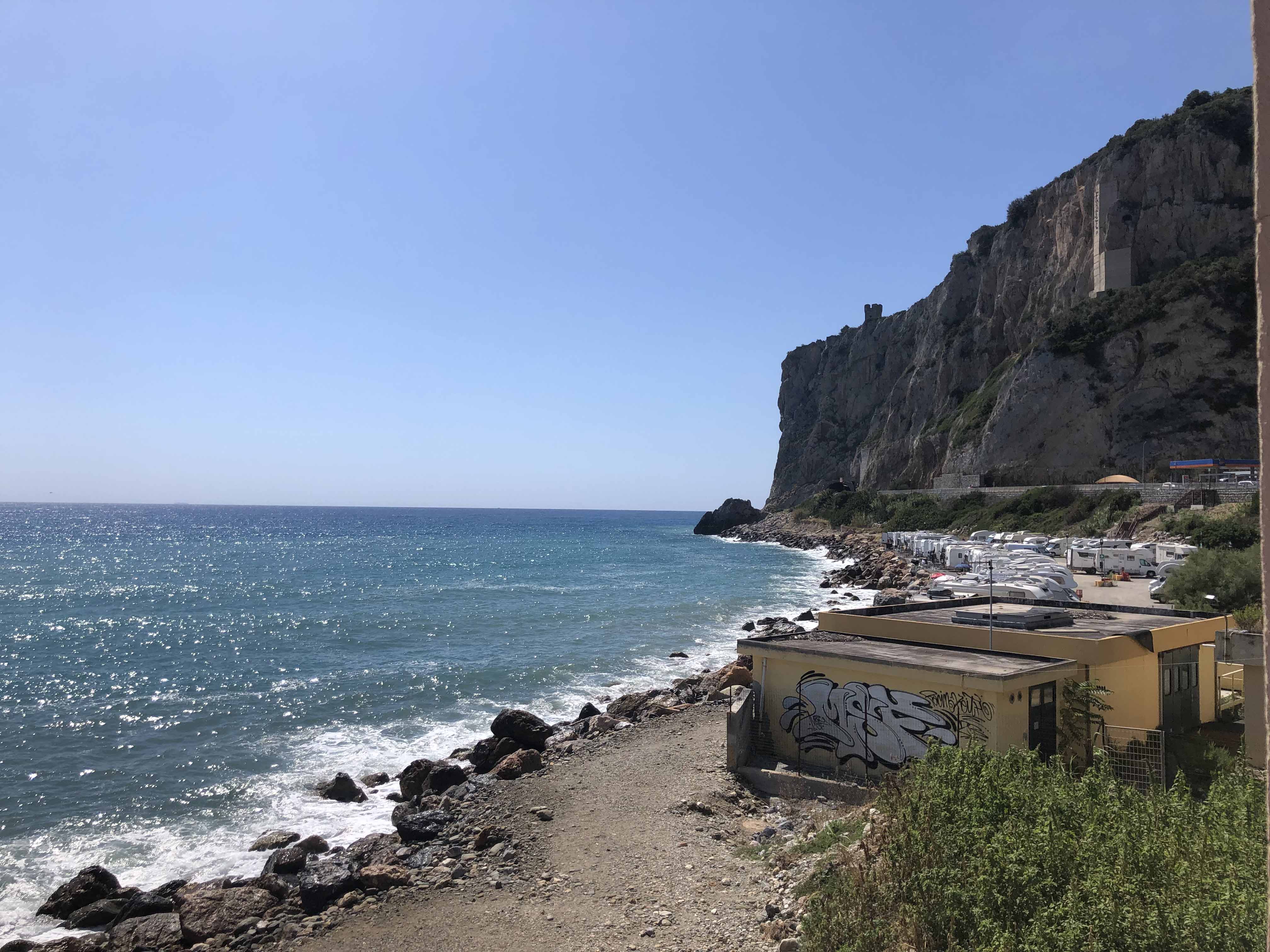
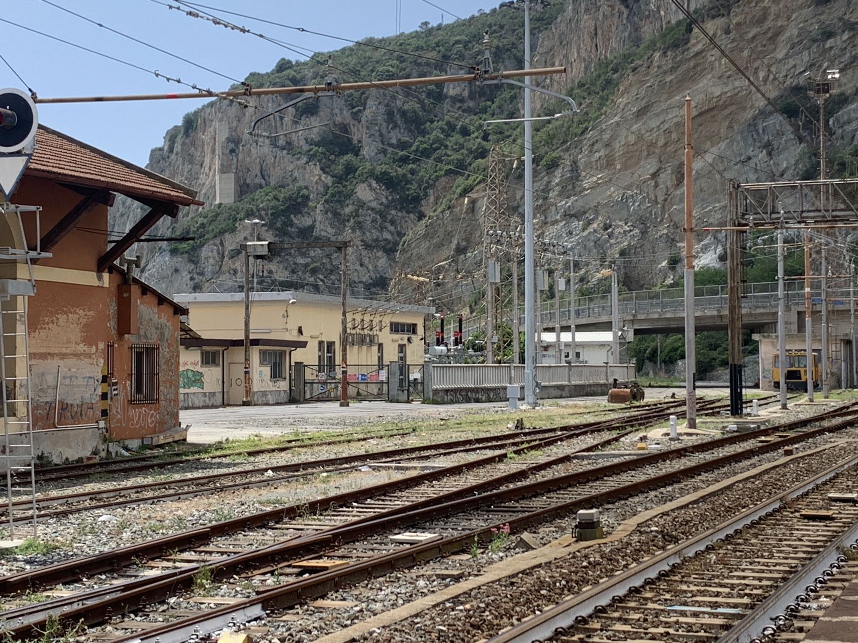
The project is located in Finale Ligure, Savona Province, Italy. It was originally a First World War Piaggio military aircraft production and maintenance base. With the decline of industrial activity, the factory was gradually abandoned, leaving extensive industrial buildings and infrastructures idle. The coastal industrial landscape that once supported urban development entered a phase of decline.
To reactivate the area, the municipality launched a comprehensive regeneration strategy covering the former Piaggio industrial site and its surrounding urban fabric. The aim is to transform this closed industrial enclave into an open urban and coastal district integrated with the city. Due to complex hydro-geological conditions and infrastructural constraints, the project is developed through multi-party collaboration, with milanesi | paiusco responsible for the master plan.
Re-entering Industrial Heritage into the City
Urban waterfront industrial heritage records industrial civilization and carries collective urban memory. The project treats the existing industrial fabric as a strategic resource for transformation. Through urban design, the abandoned site is reintroduced into the city system, while the concept of “architectural recycling” is applied to reactivate historic structures through adaptive reuse.
The intention extends beyond preservation, aiming to establish a renewed relationship between historical buildings and contemporary urban life, allowing industrial structures to re-engage with current social and economic functions.
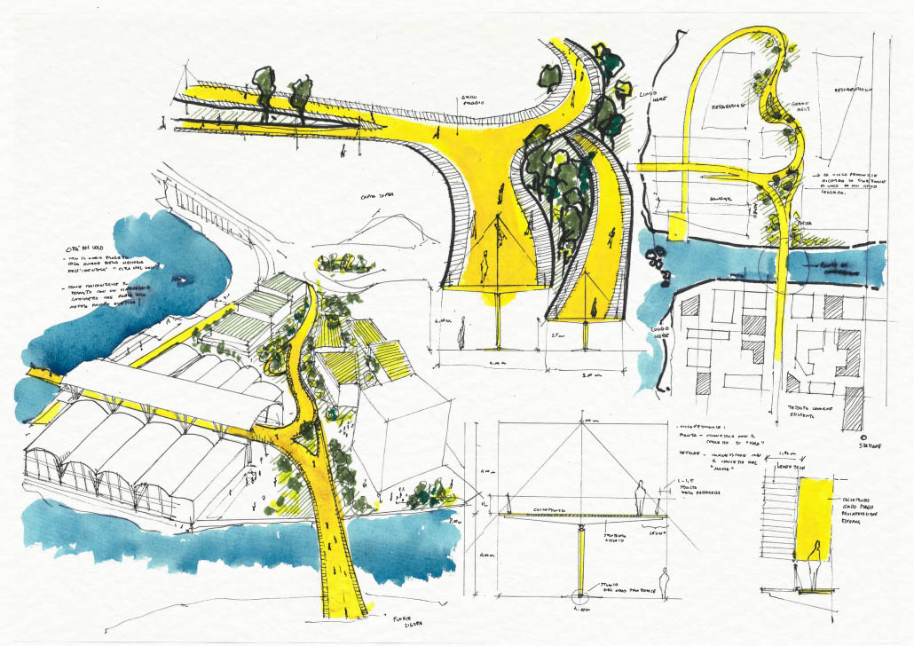
The Flying City: Reconnecting Fragmented Urbanity
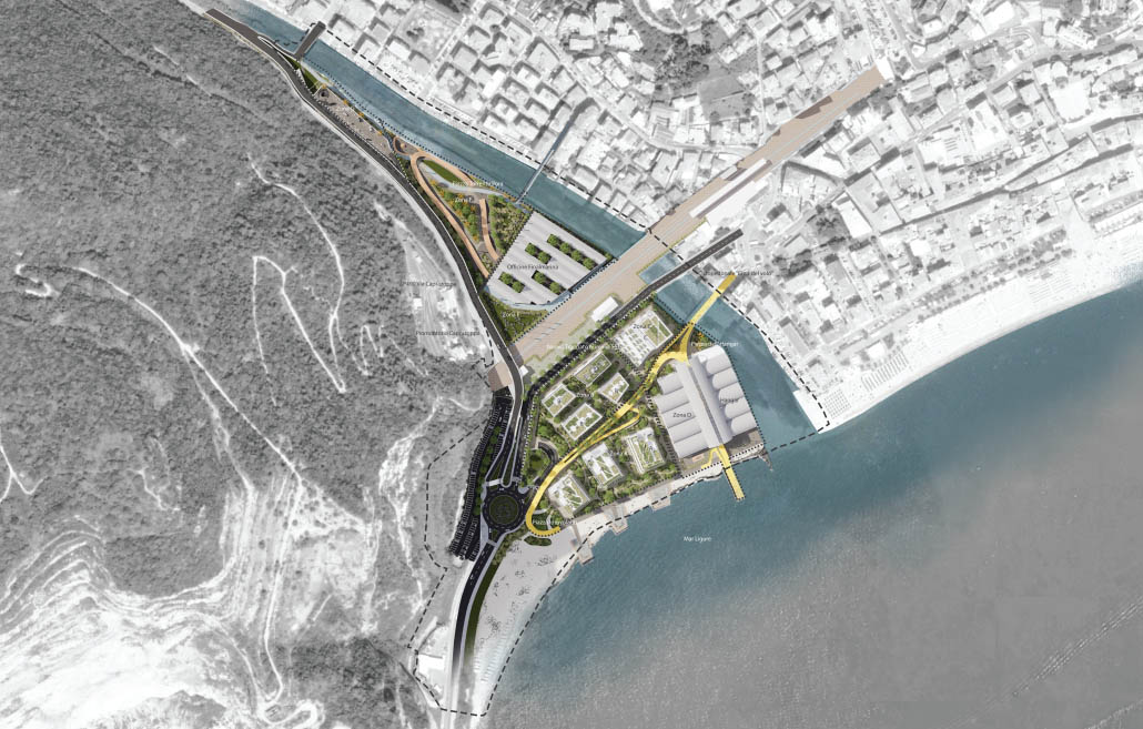
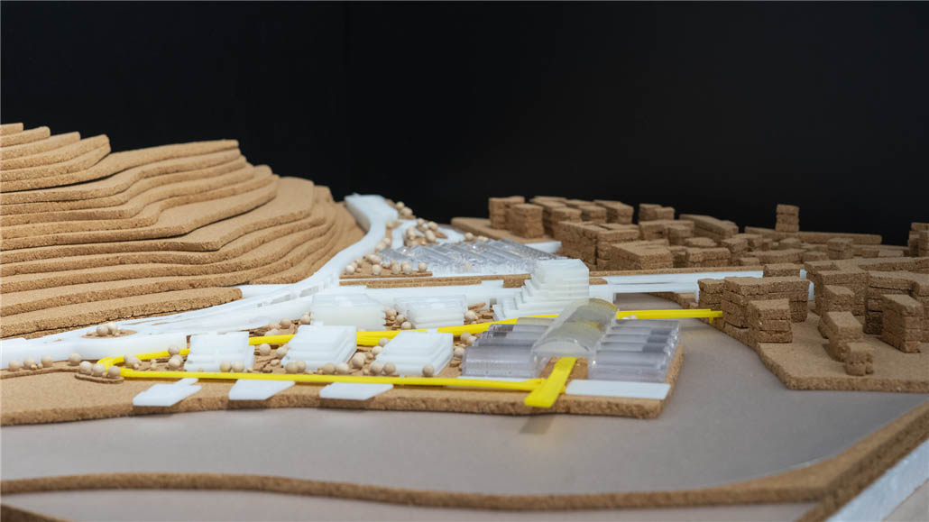
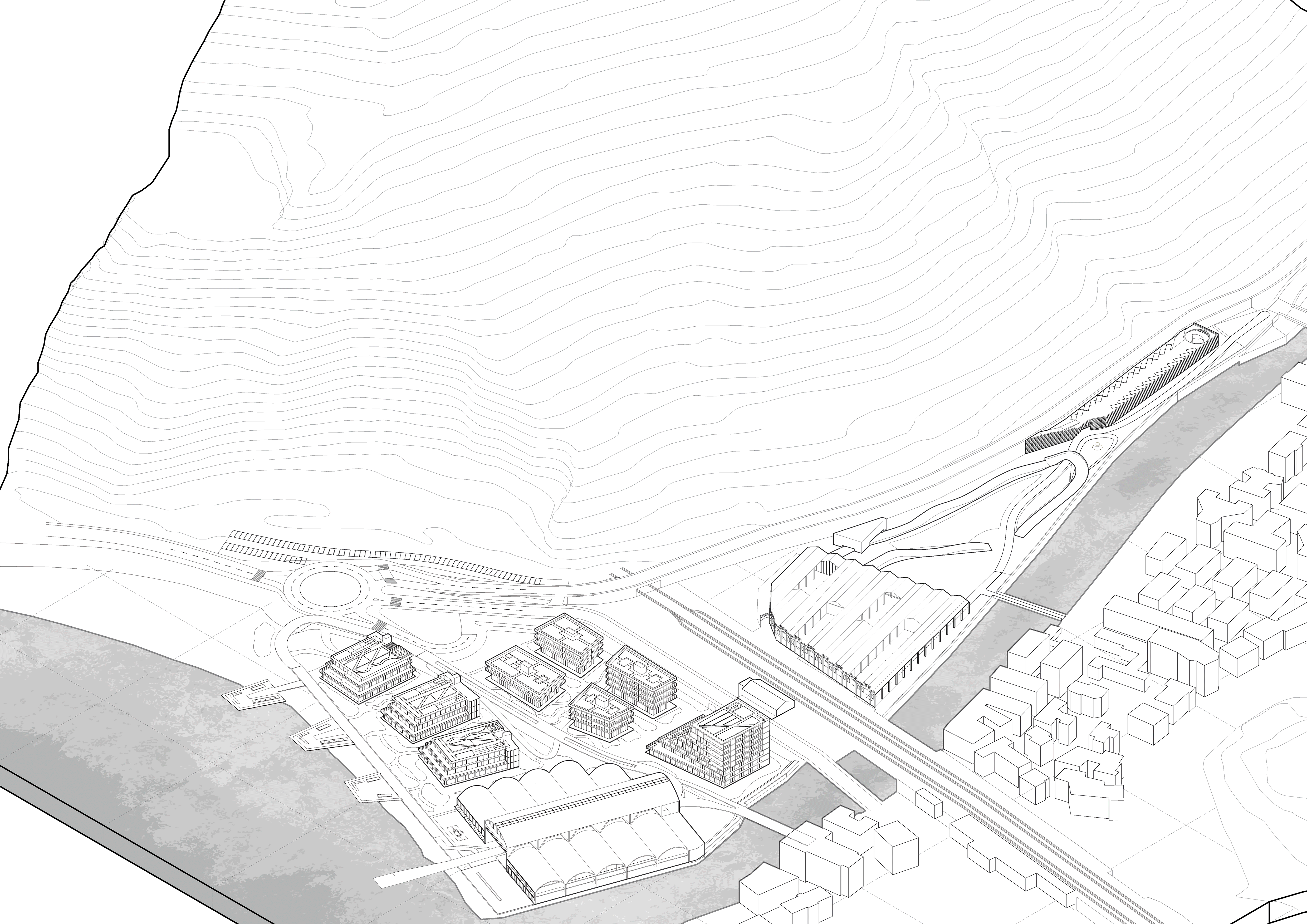
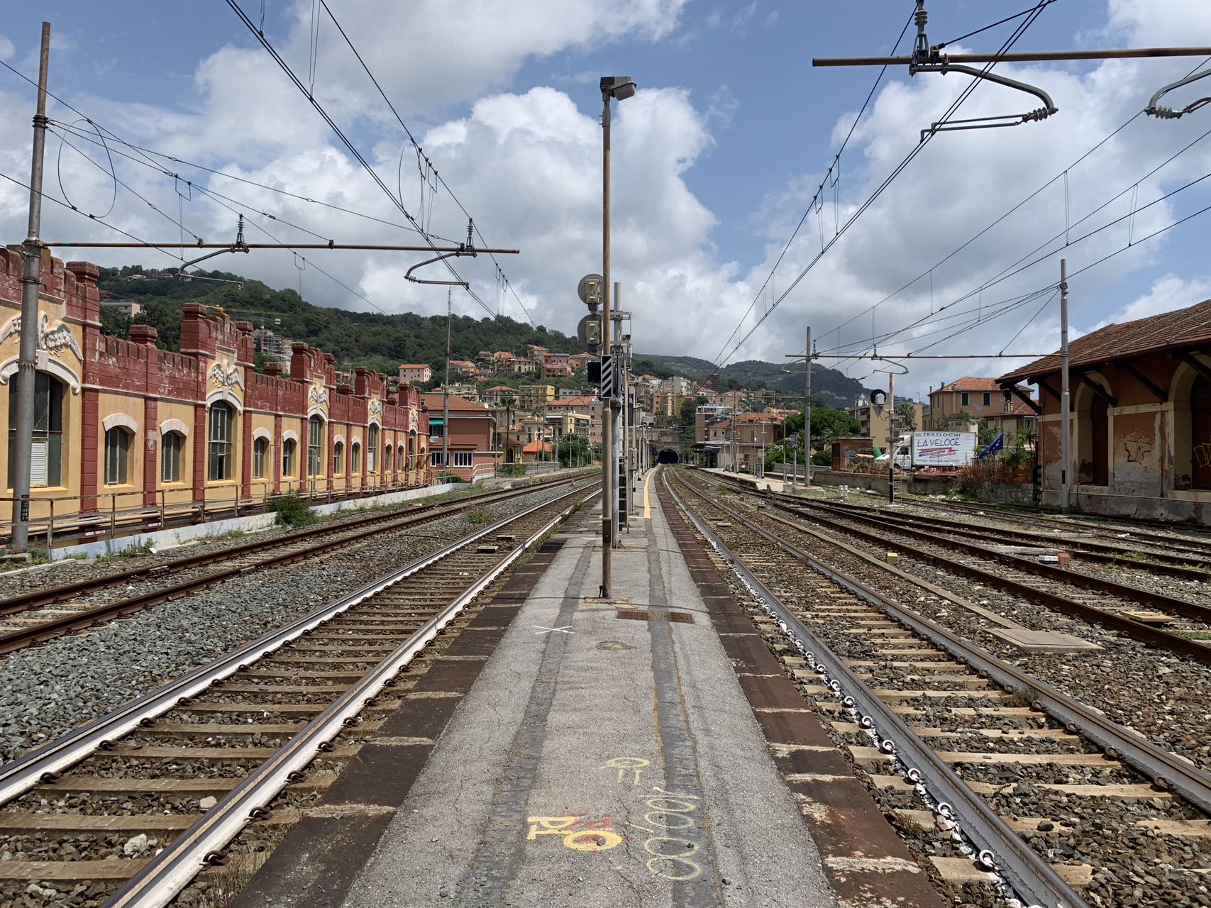
The site is fragmented by SS1 Aurelia, SP490 Via Caprazoppa, the railway, and the Pora River, which disrupt continuity between city and waterfront. The first intervention reorganizes mobility through a new roundabout, revised circulation hierarchy, underground parking, and a new vehicular bridge.
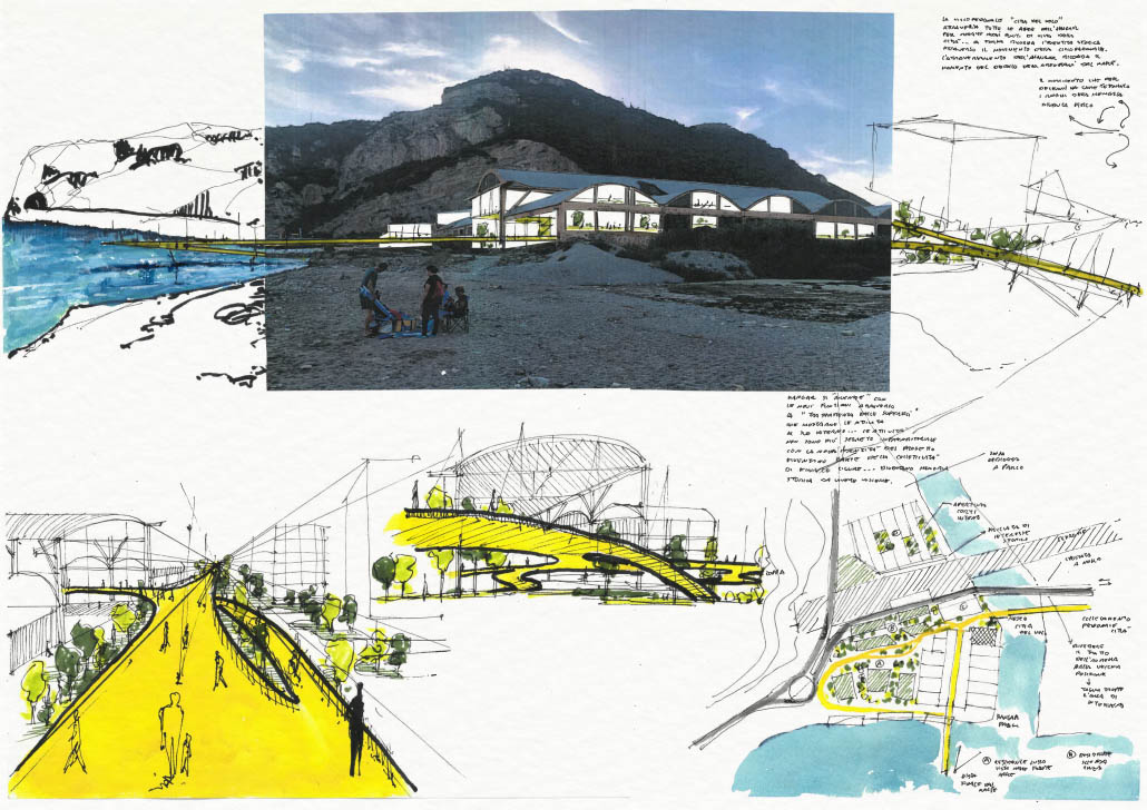
The former SS1 Aurelia alignment is transformed into “The Flying City,” a 420-meter pedestrian and bicycle loop connecting hangars, waterfront, and historic town. Following the original infrastructural axis, the loop extends across the site like a flight path, entering industrial structures and reaching the sea, forming a continuous urban connector.
Green Ties and Public Landscape System
Instead of relying on high-density construction, the project is structured through public space and landscape systems. Mixed-use functions including residential, hotel, commercial, and dining programs are introduced. A continuous network of parks, green corridors, waterfront paths, and roof gardens forms the “Green Ties,” reconnecting mountains, river, and coastline.
Previously fragmented edges are redefined as public landscapes. The riverbank becomes a linear park, while the shoreline is organized as a sequence of green fields, paths, and civic plazas. Idrovolanti Plaza, Hangar Plaza, and Torrente Pora Plaza act as key nodes within a continuous public system, consolidating the waterfront as a new urban center.
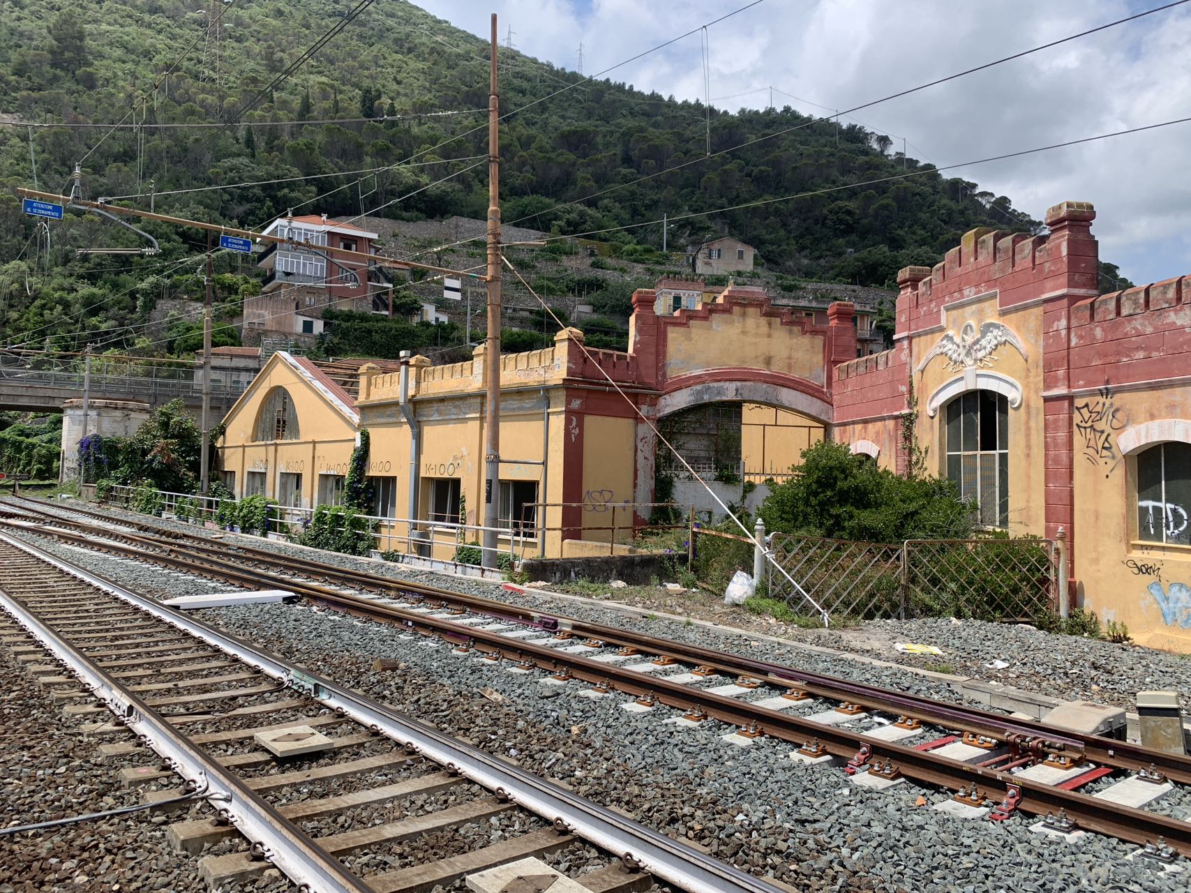
Heritage Preservation and Adaptive Transformation
The project identifies key historical structures as essential to site identity. Three elements are preserved: the 1920s–30s hangar structure, the wind tunnel within it, and the south façade of the Finale Marina workshop. These are integrated into the new program as part of the public framework.
Based on hydraulic risk analysis, certain façades require partial demolition. Their inscriptions and architectural fragments are carefully removed and relocated to a small museum near the wind tunnel, ensuring the continuity of industrial memory within the renewed landscape.